The Need
A safe and accessible bike lane connecting Long Beach to the neighboring communities of Island Park, Oceanside, Baldwin, East Rockaway, Lynbrook, and Rockville Centre would serve a vital transportation need for nearly 100,000 residents north of the barrier island. With an additional 34,595 people living in the City of Long Beach, the demand for better mobility between these areas is clear. During the peak summer months, heavy car traffic and limited parking in Long Beach create serious access issues. A dedicated bike route would offer a sustainable, efficient alternative for residents and visitors alike, reducing congestion and opening up new options for recreation, commuting, and economic activity.
The Route


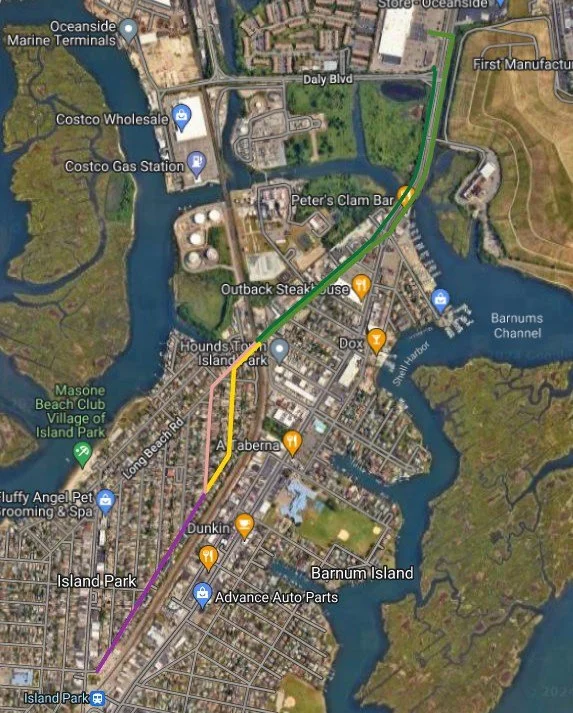
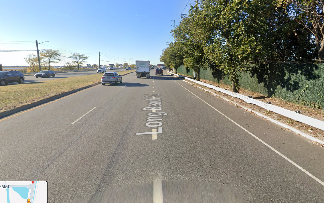
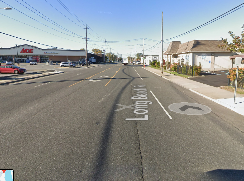
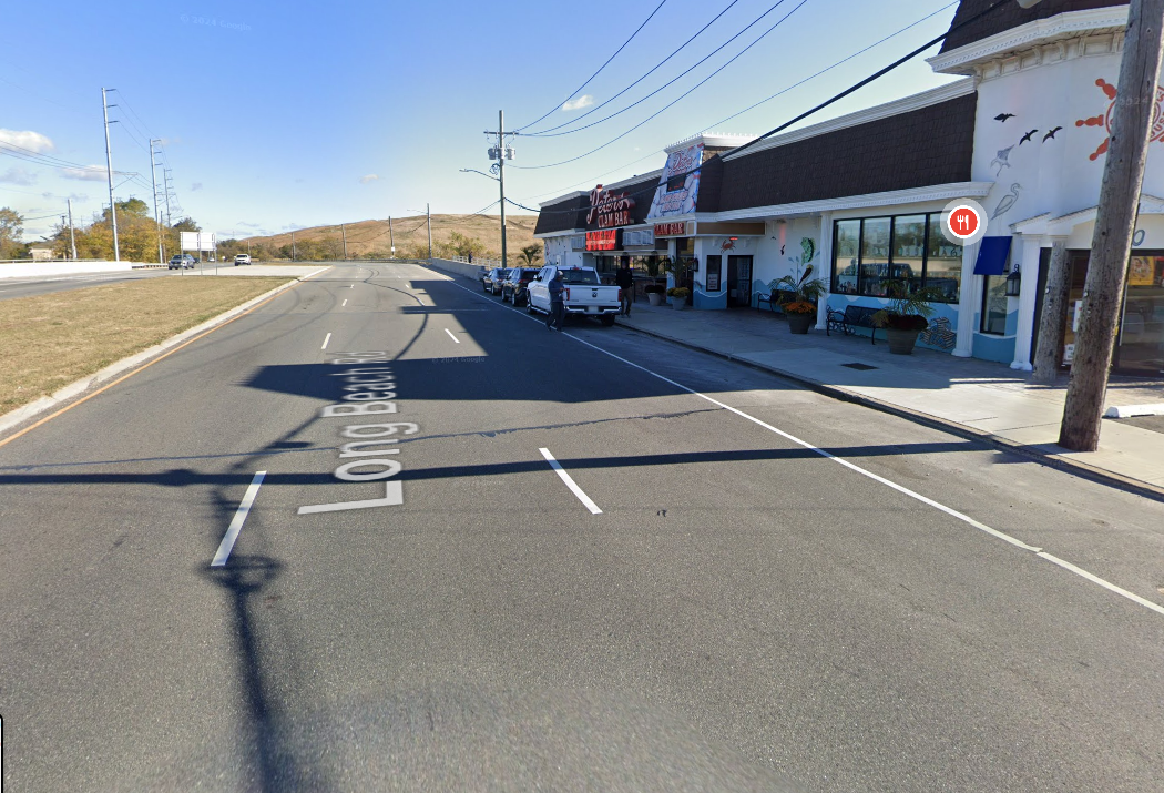
The only direct connection between Long Beach and the nearby communities to the north is a stretch of Long Beach Road that currently offers no dedicated space for cyclists and sees high volumes of fast-moving traffic. This makes it a dangerous and unwelcoming route for anyone on a bike. As AASHTO’s Guidelines for the Development of Bicycle Facilities notes, “High traffic volumes and speeds should not be used as justification for not accommodating bicyclists because many of these roadways are the only ones that connect parts of communities.” The route is currently signed as a bike route, but no infrastructure exists to facilitate safe travel.
The proposed route would utilize the existing 6-foot shoulders along this section of Long Beach Road, with 40 ft. ROWs. Between Daly Blvd and Austin Blvd, protected bike lanes with flexi-posts would provide a safer, more visible corridor. The southbound route would begin at Daly Blvd, where a pedestrian connection at Lawrence Avenue links to a residential neighborhood in Oceanside, allowing cyclists to access the adjacent shopping center and continue southbound. South of Austin Blvd, the route could transition to a shoulder bike lane or shared-use lane, with the southbound lane extending to Lorraine Road.
The northbound route would begin at Kildare Road and end at the signalized intersection that provides access to the shopping center. This allows cyclists to safely re-enter the shopping center area and reach the pedestrian entrance on Lawrence Avenue, creating a more complete and accessible route for riders traveling in both directions. Attached are some simple renderings of the North and Southbound sections.
The Funds
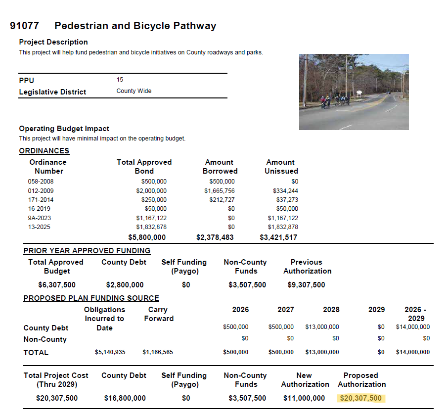
Nassau County has already allocated $20 million in its current capital plan, with funding available through 2029, for the development of bicycle infrastructure. The money is there. What’s missing is follow-through. Now is the time to hold the county accountable and ensure these funds are used to create safe, functional bike routes that serve the community.
Who to Contact
To help make bike infrastructure a reality, it's important to reach out to the right people in Nassau County government. Start by contacting your own County Legislator to let them know you support safer streets. Be sure to also contact Legislator Patrick Mullaney, whose district includes the proposed Long Beach Bikeway. In addition, we encourage you to reach out to the Nassau County Traffic Engineering Department and the Nassau County Executive’s Office to urge action on long-overdue bike infrastructure improvements. Below is a form letter for your use. Every message counts.
I'm writing to express my strong support for the addition of a bike lane on Long Beach Road between Daly Boulevard and Austin Boulevard. As someone who would love to ride my bike to the beach, I find the current road configuration unsafe for cycling. The lack of dedicated space for bikes discourages many residents like myself from choosing to bike to the beach.
Adding a protected bike lane would not only improve safety, but also offer real potential to reduce traffic congestion and ease parking issues in Long Beach, especially during the busy summer months. This stretch of road is the only connection, and making it accessible to cyclists would benefit the entire community.
Thank you for considering this much-needed improvement.
Sincerely,
[Your Name]
[Your Address or Neighborhood, optional]